

Wildfire Detection and Modeling
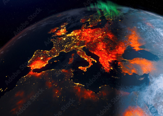
Multi-sensor data fusion to identify, track, and predict wildfire threats. As our planet warms and wildfires blaze longer, hotter, and with more power, agencies need new tools to help not only battle fires but keep those in harm’s way safe. Nurjana Technologies developed its cutting-edge wildfire detection and modeling platform to put real-time visual information at the fingertips of decision-makers, giving them the data and time they need to respond proactively. The platform uses geostationary satellites for the strong observation frequency of entire regions and an improved machine learning model that estimates radiance in the area under surveillance. Real-Time Visual Fire Detection and Prediction Nurjana Technologies’ platform operates through proprietary artificial intelligence software. Vital information is extracted from satellite imagery, processed, and clearly displayed for straightforward interpretation. Compiled data sets include real-time wind, burning materials, vegetation and contours of a selectable region, historical wildfire data, and satellite thermal imagery. Contingency Planning and Post Event Damage Estimation The platform graphically displays the wildfire area and predicts the development and impact of its spread over time through a single-view user interface. Additionally, hotspot early warnings and simulation functionalities are provided for advanced planning and training, risk assessment, and damage estimation. Global Customization NurjanaTech’s platform is highly customizable to meet user requirements. Agencies can choose to add extra layers of information such as smoke propagation and graphical depictions of critical infrastructure to increase risk assessment and impact scenarios.